Google Maps™ driving directions home » South America maps

Ecuador

Driving Directions Ecuador

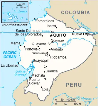
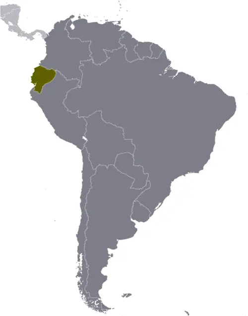
ECUADOR is an Andean country situated in the northwest of the South American continent. It is bounded to the north by Colombia, east and south by Peru, and the west by the Pacific Ocean. It also includes the Galapagos Islands, located about 965 kilometers or 600 miles west of the mainland.

Read more

Google Maps™ driving directions home » South America maps

Ecuador Google Map

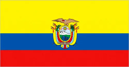
This image shows the draft map of Ecuador, South America. For more details of the map of Ecuador, please see this page below. This image shows the location of Ecuador, South America. For more geographical details of Ecuador, please see this page below. This image shows the flag of Ecuador, South America. For more details of the flag of Ecuador, please see this page below.
Borderline map of Ecuador Location map of Ecuador Flag of Ecuador

Ecuador Google map

Google Maps and Detailed Facts of Ecuador (EC). This page lets you explore Ecuador and its border countries (Country Location: Western South America, bordering the Pacific Ocean at the Equator, Colombia, and Peru) through detailed Satellite imagery – fast and easy as never before Google Maps.

Find comprehensive information about this country’s diversity below: Google maps, geography, economy, science, people, culture, environment, government, and history – All in One Wiki page.

There is also a Street View and free Driving Directions at your service. Your Google Satellite Map Sightseeing in Ecuador, in South America, starts here at Driving Directions and Maps.com.

Read more

Google Maps™ driving directions home » South America maps

Falkland Islands

Driving Directions Falkland Islands

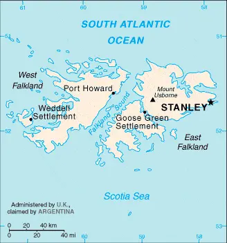
FALKLAND ISLANDS (Islas Malvinas) are situated in the South Atlantic about 650 kilometers or 410 miles east of southern Argentina. They are a British Crown Colony consisting of two large islands (West and East Falkland), separated by the 16-kilometer or 10-mile-wide Falkland Sound and surrounded by some 200 smaller islands. In 1982, the islands were invaded by Argentina, who had long laid claim to these Islas Malvinas’, only to be recaptured by a British marine task force a few months later.

Read more

Google Maps™ driving directions home » South America maps

Falkland Islands Google Map

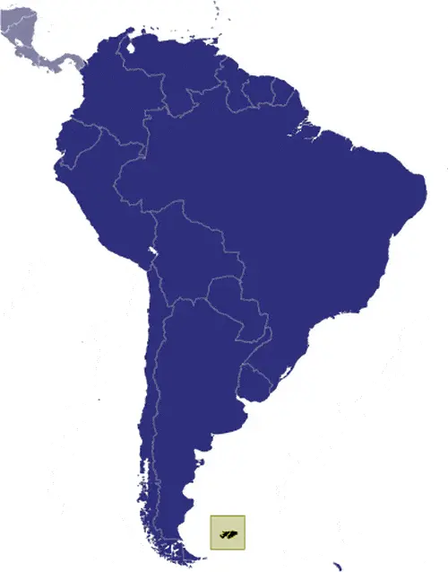
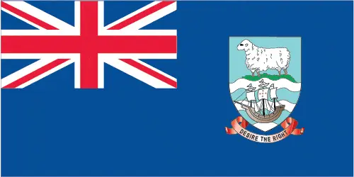
This image shows the draft map of Falkland Islands, South America. For more details of the map of Falkland Islands, please see this page below. This image shows the location of Falkland Islands, South America. For more geographical details of Falkland Islands, please see this page below. This image shows the flag of Falkland Islands, South America. For more details of the flag of Falkland Islands, please see this page below.
Borderline map of Falkland Islands Location map of Falkland Islands Flag of Falkland Islands

Falkland Islands Google map

Google Maps and Detailed Facts of the Falkland Islands (FK). This page lets you explore the Falkland Islands and its border countries (Country location: Southern South America, islands in the South Atlantic Ocean, about 500 km east of southern Argentina) through detailed Satellite imagery – fast and easy as never before Google Maps.

Find comprehensive information about this country’s diversity below: Google maps, geography, economy, science, people, culture, environment, government, and history – All in One Wiki page.

There is also a Street View and free Driving Directions at your service. Your Google Satellite Map Sightseeing in the Falkland Islands, in South America, starts here at Driving Directions and Maps.com.

Read more

Google Maps™ driving directions home » South America maps

Guyana

Driving Directions Guyana

GUYANA, the only English-speaking country in South America, is situ­ated on the northeast coast of the continent on the Atlantic Ocean. Guyana was formerly called British Guiana, but it achieved its indepen­dence in 1966. Before becoming a Crown colony, it was largely under the control of the Dutch West India Company.

The Dutch were responsi­ble for beginning an extensive land reclamation program along the coast, and, to this day, there is a narrow belt of fertile land with rich allu­vial soils, protected from the sea by dikes and dams.

Read more

Google Maps™ driving directions home » South America maps

Guyana (French Guiana)

Driving Directions Guiana

Guiana, FRENCH GUIANA, or GUYANE, as the name suggests, remains an overseas department of France, and the mother country heavily subsidizes its economy. It is bounded to the south and east by Brazil and the west by Suriname. The coastal belt is a narrow strip of marshy mangrove swamps, but the land gradually rises inland towards the Tumac-Humac Mountains. These straddle the Brazilian border but are of modest height by South American standards.

Behind the coast, there is some savannah, but 90 percent of French Guiana covered with hot, humid, tropical forests that are thinly populated by people but inhabited by South American jungle animals such as tapirs, monkeys, anteaters, jaguars, ocelots, caimans and exotic birds.

Off the coast, lie the lies de Salut (Salvation Islands) and Devil’s Island, the latter having a particularly noto­rious place in the country’s history as a prison settlement.

The climate is tropical, with heavy rainfall.

Read more

Google Maps™ driving directions home » South America maps

Guyana Google Map

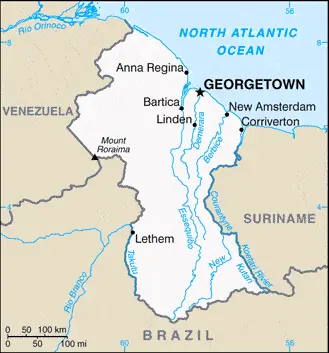
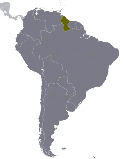
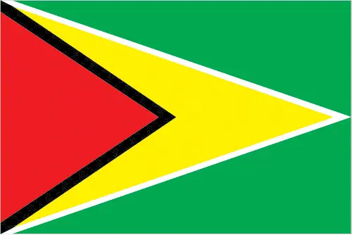
This image shows the draft map of Guyana, South America. For more details of the map of Guyana, please see this page below. This image shows the location of Guyana, South America. For more geographical details of Guyana, please see this page below. This image shows the flag of Guyana, South America. For more details of the flag of Guyana, please see this page below.
Borderline map of Guyana Location map of Guyana Flag of Guyana

Guyana Google map

Google Maps and Detailed Facts of Guyana (GY). This page lets you explore Guyana and its border countries (Country Location: Northern South America, bordering the North Atlantic Ocean, between Suriname and Venezuela) through detailed Satellite imagery – fast and easy as never before Google Maps.

Find comprehensive information about this country’s diversity below: Google maps, geography, economy, science, people, culture, environment, government, and history – All in One Wiki page.

There is also a Street View and free Driving Directions at your service. Your Google Satellite Map Sightseeing in Guyana starts here at Driving Directions and Maps.com in South America.

Read more

Google Maps™ driving directions home » South America maps

Paraguay

Driving Directions Paraguay

PARAGUAY is a small landlocked country in central South America. Bordered by Bolivia, Brazil, and Argentina and divided into two distinct regions by the River Paraguay.

Paraguay Occidental is the broader region to the west of the river. It consists of a marshy, alluvial plain, which is also part of the Gran Chaco. Much of this area is water­logged swamp in the south and east, but the land rises gradually and gives way to grassy fields and arid scrub forest towards the northwestern border. Paraguay Oriental lies to the east of the River Paraguay and consists mainly of an upland plateau called the Parana Plateau.

Read more

Google Maps™ driving directions home » South America maps

Paraguay Google Map

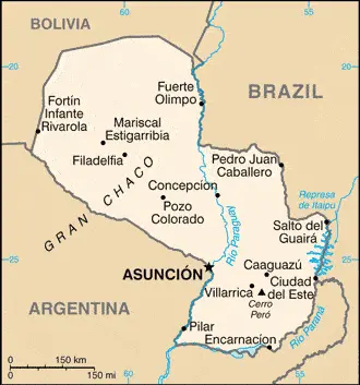
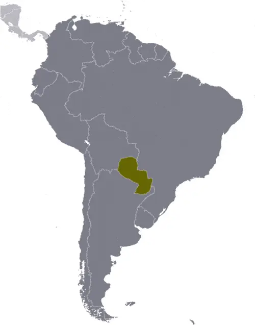
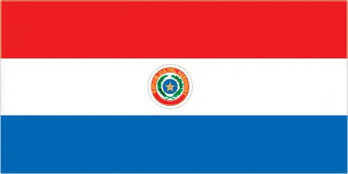
This image shows the draft map of Paraguay, South America. For more details of the map of Paraguay, please see this page below. This image shows the location of Paraguay, South America. For more geographical details of Paraguay, please see this page below. This image shows the flag of Paraguay, South America. For more details of the flag of Paraguay, please see this page below.
Borderline map of Paraguay Location map of Paraguay Flag of Paraguay

Paraguay Google map

Google Maps and Detailed Facts of Paraguay (PY). This page lets you explore Paraguay and its border countries (Country Location: Central South America, northeast of Argentina, southwest of Brazil) through detailed Satellite imagery – fast and easy as never before Google Maps.

Find comprehensive information about this country’s diversity below: Google maps, geography, economy, science, people, culture, environment, government, and history – All in One Wiki page.

There is also a Street View and free Driving Directions at your service. Your Google Satellite Map Sightseeing in Paraguay, in South America, starts here at Driving Directions and Maps.com.

Read more

Google Maps™ driving directions home » South America maps

Peru

Driving Directions Peru

PERU is located just south of the Equator, on the Pacific coast of South America. The country has four topographical regions that run mainly north to south: the Costa, the high Sierra, Montana, and the Selva.

The Costa is a narrow coastal belt that varies in width between about 56-160 kilometers or 35-100 miles. It is mainly a desert region except were traversed by rivers flowing westwards to the Pacific. The valleys of these rivers cultivated for rice, cotton, and sugar cane.

Read more