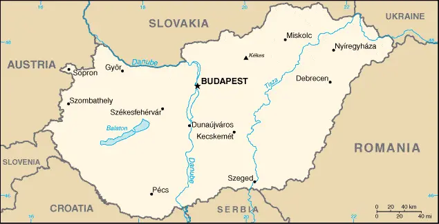
Budapest is one of the most populated cities in Hungary, and at the same time, this city is the capital of this country. Located in Europe, you may easily find the city with the following GPS coordinates: 47.29N latitude / 19.05E longitude. For routing in Budapest, please check the free driving directions Budapest service below.
Hungary
Hungary
Driving Directions Hungary
HUNGARY is a landlocked country sharing borders with Austria, Slovakia, Slovenia, Croatia, Serbia, Romania, and Ukraine. It is a region of plains ringed by the high mountain ranges of neighboring countries.
The main topographical feature is the Great Plain or Great Alföld, which is situated east of the River Danube and extends southwards and eastwards across Hungary’s borders. North of the Great Plain, near the Hungarian border, there are several upland areas. A smaller Little Plain or Little Alföld occurs in the northwest and continues into southern Slovakia.
Hungary Google Map
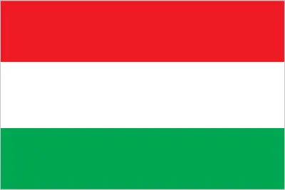
Borderline map of Hungary | Location map of Hungary | Flag of Hungary |
Google maps and detailed facts of Hungary (HU). This page enables you to explore Hungary and its border countries (Country Location: Central Europe, northwest of Romania) through detailed Satellite imagery – fast and easy as never before Google maps.
Find comprehensive information below about this country in its diversity: Google maps, geography, economy, science, people, culture, environment, government, and history – All in One Wiki page.
There is also Street View and free Driving Directions at your service. Your Google Satellite Map Sightseeing in Hungary, in Europe, starts here at Driving Directions and Maps.com.