
Global warming has been present in the public consciousness for decades, and scientists and politicians are working to slow this process down as much as possible, even if they cannot stop it.
This map is just fiction, but it’s still scary: that’s what Europe would look like if the world’s seas rose by 200 meters / 656 feet.
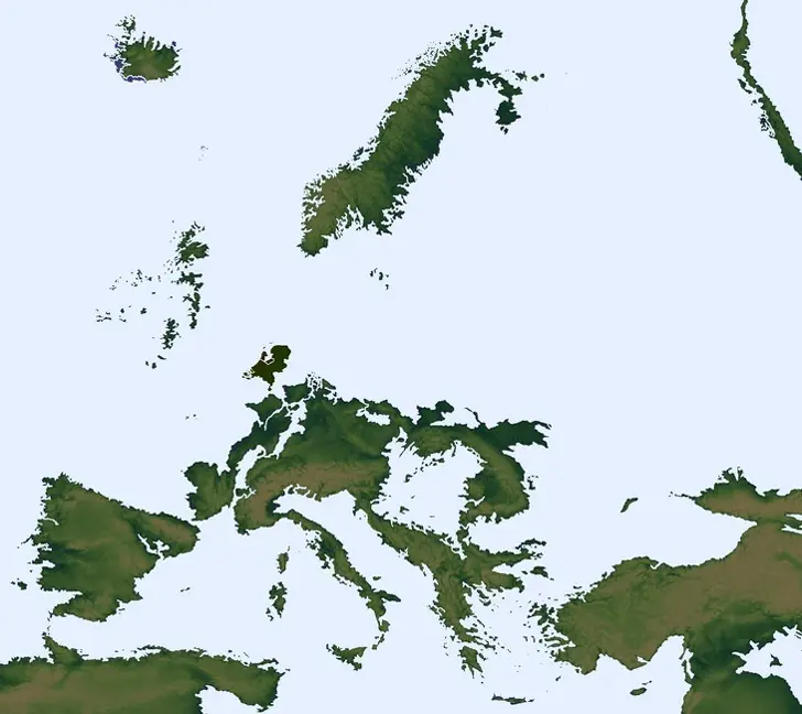
The image above illustrates well that not only the direct coastal countries such as Turkey, Greece, Italy, Spain, Portugal, France, the Netherlands, Belgium, Norway, Sweden, the UK, and the Baltic States but also the central countries of Europe such as Germany, Romania, Hungary, and many others would be in big trouble.
If you like the map above about the sinking European countries, please share it with others.