Driving Directions Suriname
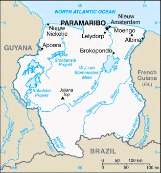
SURINAME, formerly Dutch Guiana, is a republic in northeast South America, bordered to the west by Guyana, to the east by French Guiana, and to Brazil. The country, formerly a Dutch colony, declared independence in 1975.

Google Maps, Country Facts and Route Planner
Welcome to South America’s vibrant and captivating continent, where swirling rhythms, breathtaking landscapes, and rich cultural diversity await your exploration. From the snow-capped peaks of the Andes to the lush Amazon rainforest, this blog post will take you on a thrilling journey through this enchanting part of our world. So buckle up and prepare for an adventure as we delve into the astonishing wonders that make South America unforgettable.
Paramaribo is one of the most populated cities in Suriname, and at the same time, this city is the capital of this country. Located in America, you may find the city easily with the following GPS coordinates: 05.50N latitude / 55.10W longitude. For routing in Paramaribo, please check the free driving directions Paramaribo service below.
 |
 |
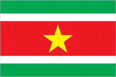 |
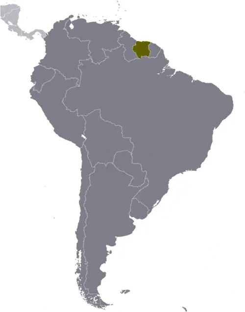
| Borderline map of Suriname | Location map of Suriname | Flag of Suriname |
Google Maps and Detailed Facts of Suriname (SR). This page lets you explore Suriname and its border countries (Country Location: Northern South America, bordering the North Atlantic Ocean, between French Guiana and Guyana) through detailed Satellite imagery – fast and easy as never before Google Maps.
Find comprehensive information about this country’s diversity below: Google Maps, geography, economy, science, people, culture, environment, government, and history – All in One Wiki page.
There is also a Street View and free Driving Directions at your service. Your Google Satellite Map Sightseeing in Suriname, in South America, starts here at Driving Directions and Maps.com.