Driving Directions Venezuela
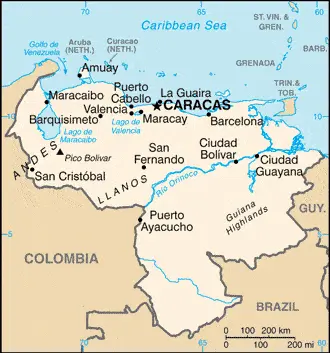
VENEZUELA forms the northernmost crest of South America. Its northern coast lies along the Caribbean Sea, and it is bounded to the west by Columbia, to the south by Brazil, and the southeast by Guyana.

Google Maps, Country Facts and Route Planner
Explore the countries in South America with all their Wiki, find information on weather, population, facts, history, landmarks of major cities data, and enjoy free Google maps Satellite imagery & Street views. Each Country Profile in South America provides information on Geography data, area maps, Google maps, flag, history, area, population, the capital city, largest cities, economy, spoken languages, ethnicity/race, religion, literacy rate, government, etc.
In this map category, you will find these South American countries and their capital cities:
Argentina, Bolivia, Brazil, Chile, Colombia, Paraguay, Peru, Suriname, Trinidad and Tobago, Uruguay, Venezuela.
VENEZUELA forms the northernmost crest of South America. Its northern coast lies along the Caribbean Sea, and it is bounded to the west by Columbia, to the south by Brazil, and the southeast by Guyana.
 |
 |
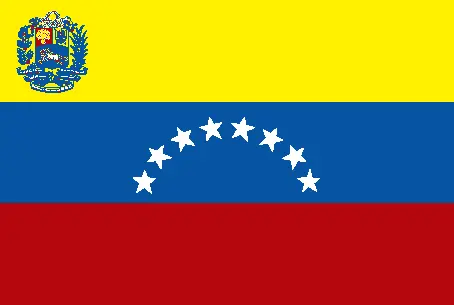 |
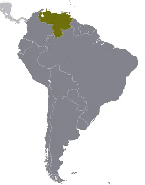
| Borderline map of Venezuela | Location map of Venezuela | Flag of Venezuela |
Google Maps and Detailed Facts of Venezuela (VE). This page lets you explore Venezuela and its border countries (Country Location: Northern South America, bordering the Caribbean Sea and the North Atlantic Ocean, between Colombia and Guyana) through detailed Satellite imagery – fast and easy as never before Google Maps.
Find comprehensive information about this country’s diversity below: Google Maps, geography, economy, science, people, culture, environment, government, and history – All in One Wiki page.
There is also a Street View and free Driving Directions at your service. Your Google Satellite Map Sightseeing in Venezuela, in South America, starts here at Driving Directions and Maps.com.