
 Location: Southern Africa
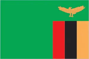
Official name: Republic of Zambia
Formation (date of independence / date current borders were established): 1964 / 1964
Capital city: Lusaka
Population: 13.3 million / 47 people per sq mile (18 people per sq km)
Total land area: 290,584 square miles (752,614 square km)
Language(s) spoken: Bemba, Tonga, Nyanja, Lozi, Lala-Bisa, Nsenga, English (official language)
Main religions: Christian 63%, Traditional beliefs 36%, Muslim and Hindu 1%
Ethnic mix: Bemba 34%, Other African 26%, Tonga 16%, Nyanja 14%, Lozi 9%, European 1%
Government type: Presidential system
Currency: Zambian kwacha = 100 ngwee
Literacy rate: 71%
Calorie consumption (daily per person): 1885 kilocalories
For more detailed country information, driving directions, and Google Maps, please visit Zambia‘s corresponding page.