
 Location: South America
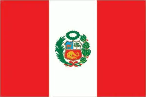
Official name: Republic of Peru
Formation (date of independence / date current borders were established): 1824 / 1941
Capital city: Lima
Population: 29.5 million / 60 people per sq mile (23 people per sq km)
Total land area: 496,223 square miles (1,285,200 square km)
Language(s) spoken: Spanish (official language), Quechua, Aymara
Main religions: Roman Catholic 81%, Other 19%
Ethnic mix: Amerindian 45%, Mestizo 37%, White 15%, Other 3%
Government type: Presidential system
Currency: New sol = 100 céntimos
Literacy rate: 90%
Calorie consumption (daily per person): 2426 kilocalories
For more detailed country information, driving directions, and Google Maps, please visit Peru‘s corresponding page.