
 Location: East Africa
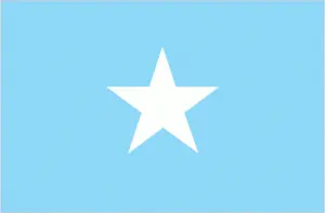
Official name: Somalia
Formation (date of independence / date current borders were established): 1960 / 1960
Capital city: Mogadishu
Population: 9.4 million / 39 people per sq mile (15 people per sq km)
Total land area: 246,199 square miles (637,657 square km)
Language(s) spoken: Somali (official language), Arabic (official language), English, Italian
Main religions: Sunni Muslim 99%, Christian 1%
Ethnic mix: Somali 85%, Other 15%
Government type: Transitional regime
Currency: Somali shilin = 100 senti
Literacy rate: 24%
Calorie consumption (daily per person): 1762 kilocalories
For more detailed country information, driving directions, and Google Maps, please visit Somalia‘s corresponding page.