
 Location: Southeast Asia
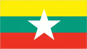
Official name: Union of Myanmar
Formation (date of independence / date current borders were established): 1948 / 1948
Capital city: Nay Pyi Taw / Rangoon
Population: 50.5 million / 199 people per sq mile (77 people per sq km)
Total land area: 261,969 square miles (678,500 square km)
Language(s) spoken: Burmese (official language), Shan, Karen, Rakhine, Chin, Yangbye, Kachin, Mon
Main religions: Buddhist 89%, Christian 4%, Muslim 4%, Other 2%, Animist 1%
Ethnic mix: Burman (Bamah) 68%, Other 12%, Shan 9%, Karen 7%, Rakhine 4%
Government type: Presidential system
Currency: Kyat = 100 pyas
Literacy rate: 92%
Calorie consumption (daily per person): 2438 kilocalories
For more detailed country information, driving directions, and Google Maps, please visit Myanmar‘s corresponding page.