
 Location: North Africa
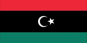
Official name: Libyan Republic
Formation (date of independence / date current borders were established): 1951 / 1951
Capital city: Tripoli
Population: 6.5 million / 10 people per sq mile (4 people per sq km)
Total land area: 679,358 square miles (1,759,540 square km)
Language(s) spoken: Arabic (official language), Tuareg
Main religions: Muslim (mainly Sunni) 97%, Other 3%
Ethnic mix: Arab and Berber 97%, Other 3%
Government type: Transitional regime
Currency: Libyan dinar = 1000 dirhams
Literacy rate: 89%
Calorie consumption (daily per person): 3144 kilocalories
For more detailed country information, driving directions, and Google Maps, please visit Libya‘s corresponding page.