
 Location: East Africa
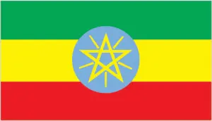
Official name: Federal Democratic Republic of Ethiopia
Formation (date of independence / date current borders were established): 1896 / 2002
Capital city: Addis Ababa
Population: 85 million / 198 people per sq mile (77 people per sq km)
Total land area: 435,184 square miles (1,127,127 square km)
Language(s) spoken: Amharic (official language), Tigrinya, Galla, Sidamo, Somali, English, Arabic
Main religions: Orthodox Christian 40%, Muslim 40%, Traditional beliefs 15%, Other 5%
Ethnic mix: Oromo 40%, Amhara 25%, Other 35%
Government type: Parliamentary system
Currency: Birr = 100 cents
Literacy rate: 36%
Calorie consumption (daily per person): 1952 kilocalories
For more detailed country information, driving directions, and Google Maps, please visit Ethiopia‘s corresponding page.