
 Location: Central Africa
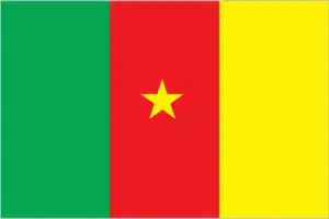
Official name: Republic of Cameroon
Formation (date of independence / date current borders were established): 1960 / 1961
Capital city: Yaoundé
Population: 20 million / 111 people per sq mile (43 people per sq km)
Total land area: 183,567 square miles (475,400 square km)
Language(s) spoken: Bamileke, Fang, Fulani, French (official language), English (official language)
Main religions: Roman Catholic 35%, Traditional
beliefs 25%, Muslim 22%, Protestant 18%
Ethnic mix: Cameroon Highlanders 31%, Other 21%, Equatorial Bantu 19%, Kirdi 11%, Fulani 10%, Northwestern Bantu 8%
Government type: Presidential system
Currency: CFA franc = 100 centimes
Literacy rate: 71%
Calorie consumption (daily per person): 2259 kilocalories
For more detailed country information, driving directions, and Google Maps, please visit Cameroon‘s corresponding page.