
 Location: Southeast Asia
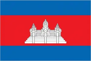
Official name: Kingdom of Cambodia
Formation (date of independence / date current borders were established): 1953 / 1953
Capital city: Phnom Penh
Population: 15.1 million / 222 people per sq mile (86 people per sq km)
Total land area: 69,900 square miles (181,040 square km)
Language(s) spoken: Khmer (official language), French, Chinese, Vietnamese, Cham
Main religions: Buddhist 93%, Muslim 6%, Christian 1%
Ethnic mix: Khmer 90%, Vietnamese 5%, Other 4%, Chinese 1%
Government type: Parliamentary system
Currency: Riel = 100 sen
Literacy rate: 78%
Calorie consumption (daily per person): 2245 kilocalories
For more detailed country information, driving directions, and Google Maps, please visit Cambodia‘s corresponding page.