
 Location: South Asia
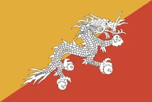
Official name: Kingdom of Bhutan
Formation (date of independence / date current borders were established): 1656 / 1865
Capital city: Thimphu
Population: 700,000 / 39 people per sq mile (15 people per sq km)
Total land area: 18,147 square miles (47,000 square km)
Language(s) spoken: Dzongkha (official language), Nepali, Assamese
Main religions: Mahayana Buddhist 75%, Hindu 25%
Ethnic mix: Drukpa 50%, Nepalese 35%, Other 15%
Government type: Mixed monarchical–parliamentary system
Currency: Ngultrum = 100 chetrum
Literacy rate: 56%
Calorie consumption (daily per person): Not available
For more detailed country information, driving directions, and Google Maps, please visit Bhutan‘s corresponding page.