
 Location: North Africa
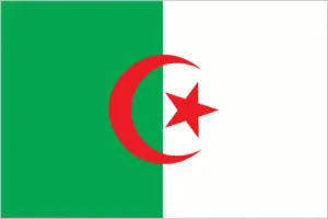
Official name: People’s Democratic Republic of Algeria
Formation (date of independence / date current borders were established): 1962 / 1962
Capital city: Algiers
Population: 35.4 million / 38 people per sq mile (15 people per sq km)
Total land area: 919,590 square miles (2,381,740 square km)
Language(s) spoken: Arabic (official language), Tamazight (Kabyle, Shawia,
Tamashek), French
Main religions: Sunni Muslim 99%, Christian & Jewish 1%
Ethnic mix: Arab 75%, Berber 24%, European & Jewish 1%
Government type: Presidential system
Currency: Algerian dinar = 100 centimes
Literacy rate: 75%
Calorie consumption (daily per person): 3104 kilocalories
For more detailed country information, driving directions, and Google Maps, please visit Algeria‘s corresponding page.