
 Location: Australasia & Oceania
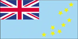
Official name: Tuvalu
Formation (date of independence / date current borders were established): 1978 / 1978
Capital city: Fongafale (Funafuti Atoll)
Population: 10,544 / 1054 people per sq mile (406 people per sq km)
Total land area: 10 square miles (26 square km)
Language(s) spoken: Tuvaluan, Kiribati, English (official language)
Main religions: Church of Tuvalu 97%, Other 1%, Baha’i 1%, Seventh-day Adventist 1%
Ethnic mix: Polynesian 96%, Micronesian 4%
Government type: Nonparty system
Currency: Australian dollar and Tuvaluan dollar = 100 cents
Literacy rate: 98%
Calorie consumption (daily per person): Not available
For more detailed country information, driving directions, and Google Maps, please visit Tuvalu‘s corresponding page.