
 Location: Southwest Europe
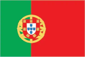
Official name: Republic of Portugal
Formation (date of independence / date current borders were established): 1139 / 1640
Capital city: Lisbon
Population: 10.7 million / 301 people per sq mile (116 people per sq km)
Total land area: 35,672 square miles (92,391 square km)
Language(s) spoken: Portuguese (official language)
Main religions: Roman Catholic 92%, Protestant 4%, Nonreligious 3%, Other 1%
Ethnic mix: Portuguese 98%, African and other 2%
Government type: Parliamentary system
Currency: Euro = 100 cents
Literacy rate: 95%
Calorie consumption (daily per person): 3583 kilocalories
For more detailed country information, driving directions, and Google Maps, please visit Portugal‘s corresponding page.