
 Location: Australasia & Oceania
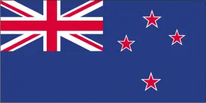
Official name: New Zealand
Formation (date of independence / date current borders were established): 1947 / 1947
Capital city: Wellington
Population: 4.3 million / 41 people per sq mile (16 people per sq km)
Total land area: 103,737 square miles (268,680 square km)
Language(s) spoken: English (official language), Maori (official language)
Main religions: Anglican 24%, Other 22%, Presbyterian 18%, Nonreligious 16%, Roman
Catholic 15%, Methodist 5%
Ethnic mix: European 75%, Maori 15%, Other 7%, Samoan 3%
Government type: Parliamentary system
Currency: New Zealand dollar = 100 cents
Literacy rate: 99%
Calorie consumption (daily per person): 3150 kilocalories
For more detailed country information, driving directions, and Google Maps, please visit New Zealand‘s corresponding page.