
 Location: Southern Africa
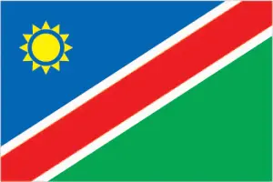
Official name: Republic of Namibia
Formation (date of independence / date current borders were established): 1990 / 1994
Capital city: Windhoek
Population: 2.2 million / 7 people per sq mile (3 people per sq km)
Total land area: 318,694 square miles (825,418 square km)
Language(s) spoken: Ovambo, Kavango, English (official language), Bergdama, German, Afrikaans
Main religions: Christian 90%, Traditional beliefs 10%
Ethnic mix: Ovambo 50%, Other tribes 22%, Kavango 9%, Herero 7%, Damara 7%, Other 5%
Government type: Presidential system
Currency: Namibian dollar & South African rand = 100 cents
Literacy rate: 88%
Calorie consumption (daily per person): 2349 kilocalories
For more detailed country information, driving directions, and Google Maps, please visit Namibia‘s corresponding page.