
 Location: West Africa
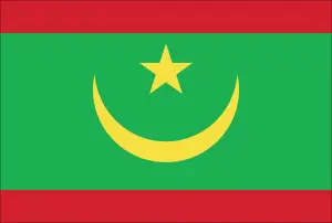
Official name: Islamic Republic of Mauritania
Formation (date of independence / date current borders were established): 1960 / 1960
Capital city: Nouakchott
Population: 3.4 million / 9 people per sq mile (3 people per sq km)
Total land area: 397,953 square miles (1,030,700 square km)
Language(s) spoken: Hassaniyah Arabic (official language), Wolof, French
Main religions: Sunni Muslim 100%
Ethnic mix: Maure 81%, Wolof 7%, Tukolor 5%, Other 4%, Soninka 3%
Government type: Presidential system
Currency: Ouguiya = 5 khoums
Literacy rate: 58%
Calorie consumption (daily per person): 2823 kilocalories
For more detailed country information, driving directions, and Google Maps, please visit Mauritania‘s corresponding page.