
 Location: West Africa
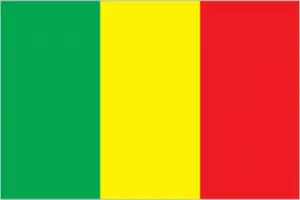
Official name: Republic of Mali
Formation (date of independence / date current borders were established): 1960 / 1960
Capital city: Bamako
Population: 13.3 million / 28 people per sq mile (11 people per sq km)
Total land area: 478,764 square miles (1,240,000 square km)
Language(s) spoken: Bambara, Fulani, Senufo, Soninke, French (official language)
Main religions: Muslim (mainly Sunni) 90%, Traditional beliefs 6%, Christian 4%
Ethnic mix: Bambara 52%, Other 14%, Fulani 11%, Saracolé 7%, Soninka 7%, Tuareg 5%, Mianka 4%
Government type: Presidential system
Currency: CFA franc = 100 centimes
Literacy rate: 23%
Calorie consumption (daily per person): 2579 kilocalories
For more detailed country information, driving directions, and Google Maps, please visit Mali‘s corresponding page.