
 Location: Indian Ocean
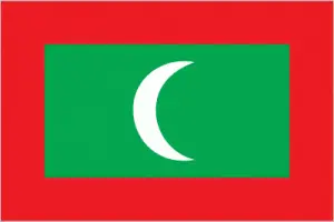
Official name: Republic of Maldives
Formation (date of independence / date current borders were established): 1965 / 1965
Capital city: Malé
Population: 300,000 / 2586 people per sq mile (1000 people per sq km)
Total land area: 116 square miles (300 square km)
Language(s) spoken: Dhivehi (Maldivian) (official language), Sinhala, Tamil, Arabic
Main religions: Sunni Muslim 100%
Ethnic mix: Arab–Sinhalese–Malay 100%
Government type: Presidential system
Currency: Rufiyaa = 100 laari
Literacy rate: 97%
Calorie consumption (daily per person): Not available
For more detailed country information, driving directions, and Google Maps, please visit Maldives‘s corresponding page.