
 Location: West Indies
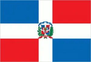
Official name: Dominican Republic
Formation (date of independence / date current borders were established): 1865 / 1865
Capital city: Santo Domingo
Population: 10.2 million / 546 people per sq mile (211 people per sq km)
Total land area: 18,679 square miles (48,380 square km)
Language(s) spoken: Spanish (official language), French Creole
Main religions: Roman Catholic 95%, Other and nonreligious 5%
Ethnic mix: Mixed race 73%, European 16%, Black African 11%
Government type: Presidential system
Currency: Dominican Republic peso = 100 centavos
Literacy rate: 88%
Calorie consumption (daily per person): 2263 kilocalories
For more detailed country information, driving directions, and Google Maps, please visit Dominican Republic‘s corresponding page.