
 Location: Indian Ocean
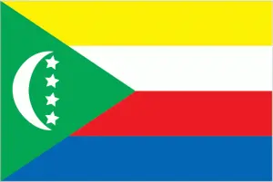
Official name: Union of Comoros
Formation (date of independence / date current borders were established): 1975 / 1975
Capital city: Moroni
Population: 700,000 / 813 people per sq mile (314 people per sq km)
Total land area: 838 square miles (2170 square km)
Language(s) spoken: Arabic (official language), Comoran (official language), French (official language)
Main religions: Muslim (mainly Sunni) 98%, Other 1%, Roman Catholic 1%
Ethnic mix: Comoran 97%, Other 3%
Government type: Presidential system
Currency: Comoros franc = 100 centimes
Literacy rate: 74%
Calorie consumption (daily per person): 1857 kilocalories
For more detailed country information, driving directions, and Google Maps, please visit Comoros‘s corresponding page.