Google Maps™ driving directions home » Africa maps

Ghana Google Map

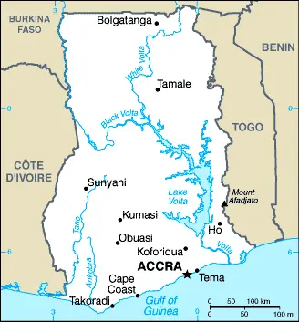
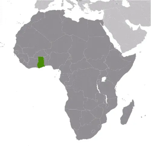
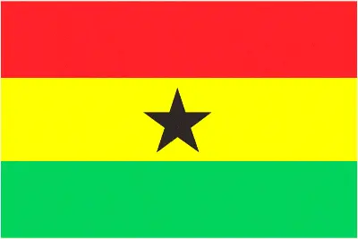
This image shows the draft map of Ghana, Africa. For more details of the map of Ghana, please see this page below. This image shows the location of Ghana, Africa. For more geographical details of Ghana, please see this page below. This image shows the flag of Ghana, Africa. For more details of the flag of Ghana, please see this page below.
Borderline map of Ghana Location map of Ghana Flag of Ghana

Ghana Google map

Google Maps and Detailed Facts of Ghana (GH). This page lets you explore Ghana and its border countries (Country Location: Western Africa, bordering the Gulf of Guinea, between Cote d’Ivoire and Togo) through detailed Satellite imagery – fast and easy as never before Google Maps.

Find comprehensive information about this country’s diversity below: Google maps, geography, economy, science, people, culture, environment, government, and history – All in One Wiki page.

There is also a Street View and free Driving Directions at your service. Your Google Satellite Map Sightseeing in Ghana, in Africa, starts here at Driving Directions and Maps.com.

Read more

Google Maps™ driving directions home » Africa maps

Guinea

Driving Directions Guinea

GUINEA, formerly a French west African territory, is located at the “bulge” in Africa’s coastline. It is a lush, green, beautiful country about the same size as the United Kingdom. The Republic of Guinea is a country of varied topography crossed by many rivers, including the upper reach­es of Senegal, Gambia, and Niger. Its principal rivers are the Gambia and the Bating. The coastal plain is about 50 kilometers or 30 miles wide before the land rises inland to form the central massif of the Fouta Djallon

Highlands, a sandstone plateau dissected by deep valleys. The Guinea Highlands occupies the south of the country, and between the two upland areas lies an area of the Sahel savannah grasslands extending northeastwards into Mali.

Read more

Google Maps™ driving directions home » Africa maps

Guinea Google Map

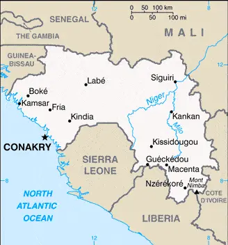
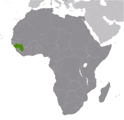
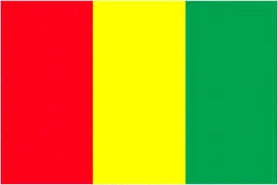
This image shows the draft map of Guinea, Africa. For more details of the map of Guinea, please see this page below. This image shows the location of Guinea, Africa. For more geographical details of Guinea, please see this page below. This image shows the flag of Guinea, Africa. For more details of the flag of Guinea, please see this page below.
Borderline map of Guinea Location map of Guinea Flag of Guinea

Guinea Google map

Google Maps and Detailed Facts of Guinea (GN). This page lets you explore Guinea and its border countries (Country Location: Western Africa, bordering the North Atlantic Ocean, between Guinea-Bissau and Sierra Leone) through detailed Satellite imagery – fast and easy as never before Google Maps.

Find comprehensive information about this country’s diversity below: Google maps, geography, economy, science, people, culture, environment, government, and history – All in One Wiki page.

There is also a Street View and free Driving Directions at your service. Your Google Satellite Map Sightseeing in Guinea, in Africa, starts here at Driving Directions and Maps.com.
Read more

Google Maps™ driving directions home » Africa maps

Guinea-Bissau

Driving Directions Guinea-Bissau

GUINEA-BISSAU, formerly a Portuguese territory but granted inde­pendence in 1974, is located south of Senegal on the Atlantic coast of West Africa. The republic’s territory includes over 60 coastal islands, including the archipelago of Bijagós.

It is a stunning country with a deeply indented and island-fringed coastline and a low, marshy plain, rising slightly to a plateau and hills on the border with neighbor­ing Guinea. Mangrove swamps and tropical jungles cover the land near the coast, giving way to savannah-type grassland on the plateau.

Read more

Google Maps™ driving directions home » Africa maps

Guinea-Bissau Google Map

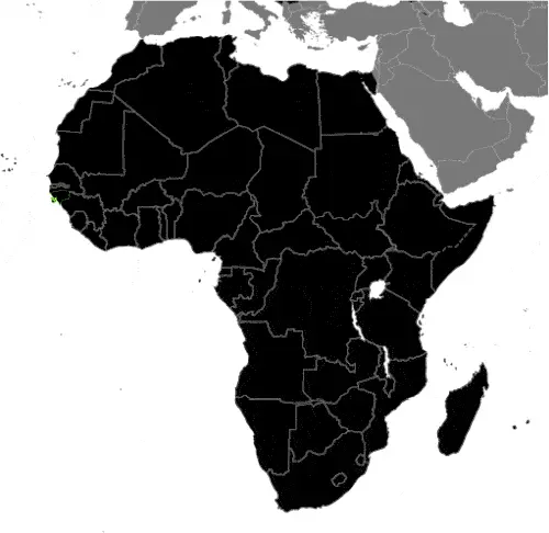
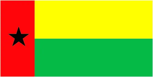
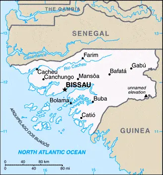
This image shows the draft map of Guinea-Bissau, Africa. For more details of the map of Guinea-Bissau, please see this page below. This image shows the location of Guinea-Bissau, Africa. For more geographical details of Guinea-Bissau, please see this page below. This image shows the flag of Guinea-Bissau, Africa. For more details of the flag of Guinea-Bissau, please see this page below.
Borderline map of Guinea-Bissau Location map of Guinea-Bissau Flag of Guinea-Bissau

Guinea-Bissau Google map

Google Maps and Detailed Facts of Guinea-Bissau (GW). This page lets you explore Guinea-Bissau and its border countries (Country Location: Western Africa, bordering the North Atlantic Ocean, between Guinea and Senegal) through detailed Satellite imagery – fast and easy as never before Google Maps.

Find comprehensive information about this country’s diversity below: Google maps, geography, economy, science, people, culture, environment, government, and history – All in One Wiki page.

There is also a Street View and free Driving Directions at your service. Your Google Satellite Map Sightseeing in Guinea-Bissau, in Africa, starts here at Driving Directions and Maps.com.
Read more

Google Maps™ driving directions home » Africa maps

Harare Google maps

Harare is one of the most populated cities in Zimbabwe, and at the same time, this city is the capital of this country. Located in Africa, you may find the city easily with the following GPS coordinates: 17.43S latitude / 31.02E longitude. For routing in Harare, please check the free driving directions Harare service below.

Read more

Google Maps™ driving directions home » Africa maps

Juba Google maps

Juba is one of the most populated cities in South Sudan, and at the same time, this city is the capital of this country. Located in Africa, you may find the city easily with the following GPS coordinates: 4.85N latitude / 31.57E longitude. For routing in Juba, please check the free driving directions Juba service below.

Read more

Google Maps™ driving directions home » Africa maps

Kampala Google maps

Kampala is one of the most populated cities in Uganda, and at the same time, this city is the capital of this country. Located in Africa, you may find the city easily with the following GPS coordinates: 00.20N latitude / 32.30E longitude. For routing in Kampala, please check the free driving directions Kampala service below.

Read more

Google Maps™ driving directions home » Africa maps

Kenya

Driving Directions Kenya

KENYA is a country of moderate size on the eastern side of the African continent. The Indian Ocean is to the southeast, with Tanzania to the south, Uganda to the west, Sudan to the northwest, Ethiopia to the north, and Somalia to the east. The equator almost bisects the country in two and provides a dividing line between the deserts in the north and the south’s savannah.

Mountains run north to south through central Kenya and are divided by the steep-sided Great Rift Valley. The highest peak is Mount Kenya at 5,200 meters or 17,000 feet.

Read more

Google Maps™ driving directions home » Africa maps

Kenya Google Map

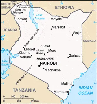
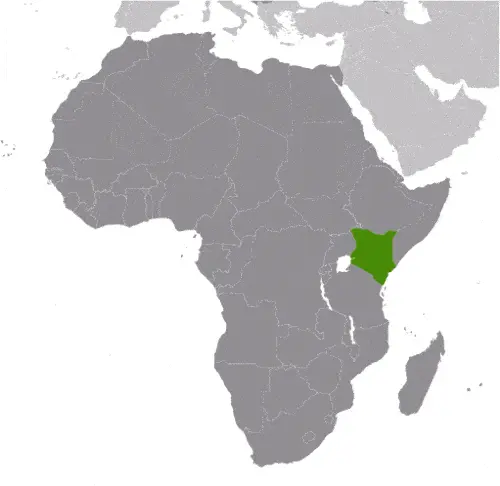
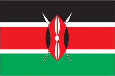
This image shows the draft map of Kenya, Africa. For more details of the map of Kenya, please see this page below. This image shows the location of Kenya, Africa. For more geographical details of Kenya, please see this page below. This image shows the flag of Kenya, Africa. For more details of the flag of Kenya, please see this page below.
Borderline map of Kenya Location map of Kenya Flag of Kenya

Kenya Google map

Google Maps and Detailed Facts of Kenya (KE). This page lets you explore Kenya and its border countries (Country Location: Eastern Africa, bordering the Indian Ocean, between Somalia and Tanzania) through detailed Satellite imagery – fast and easy as never before Google Maps.

Find comprehensive information about this country’s diversity below: Google maps, geography, economy, science, people, culture, environment, government, and history – All in One Wiki page.

There is also a Street View and free Driving Directions at your service. Your Google Satellite Map Sightseeing in Kenya, in Africa, starts here at Driving Directions and Maps.com.
Read more