Google Maps™ driving directions home » Africa maps

Senegal Google Map

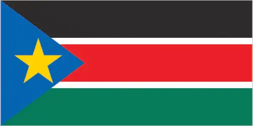
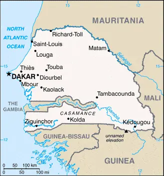
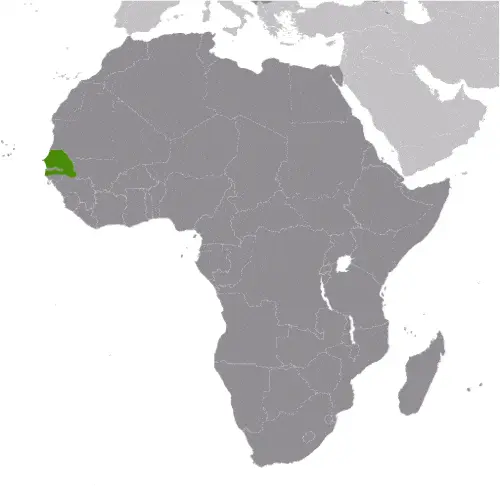
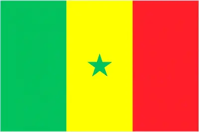
This image shows the draft map of Senegal, Africa. For more details of the map of Senegal, please see this page below. This image shows the location of Senegal, Africa. For more geographical details of Senegal, please see this page below. This image shows the flag of Senegal, Africa. For more details of the flag of Senegal, please see this page below.
Borderline map of Senegal Location map of Senegal Flag of Senegal

Senegal Google map

Google Maps and Detailed Facts of Senegal (SN). This page lets you explore Senegal and its border countries (Country Location: Western Africa, bordering the North Atlantic Ocean, between Guinea-Bissau and Mauritania) through detailed Satellite imagery – fast and easy as never before Google Maps.

Find comprehensive information about this country’s diversity below: Google maps, geography, economy, science, people, culture, environment, government, and history – All in One Wiki page.

There is also a Street View and free Driving Directions at your service. Your Google Satellite Map Sightseeing in Senegal, in Africa, starts here at Driving Directions and Maps.com.

Read more

Google Maps™ driving directions home » Africa maps

Seychelles

Driving Directions Seychelles

SEYCHELLES are volcanic islands that lie in the western Indian Ocean about 1,200 kilometers or 746 miles from the coast of east Africa. About 40 of the islands are mountainous and consist of granite, while just over 50 are coral islands. The climate is tropical maritime with heavy rain.

Read more

Google Maps™ driving directions home » Africa maps

Seychelles Google Map

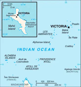
This image shows the draft map of Seychelles, Africa. For more details of the map of Seychelles, please see this page below. This image shows the location of Seychelles, Africa. For more geographical details of Seychelles, please see this page below. This image shows the flag of Seychelles, Africa. For more details of the flag of Seychelles, please see this page below.
Borderline map of Seychelles Location map of Seychelles Flag of Seychelles

Seychelles Google map

Google Maps and Detailed Facts of Seychelles (SC). This page lets you explore Seychelles and its border countries (Country Location: archipelago in the Indian Ocean, northeast of Madagascar) through detailed Satellite imagery – fast and easy as never before Google Maps.

Find comprehensive information about this country’s diversity below: Google maps, geography, economy, science, people, culture, environment, government, and history – All in One Wiki page.

There is also a Street View and free Driving Directions at your service. Your Google Satellite Map Sightseeing in Seychelles, in Africa, starts here at Driving Directions and Maps.com.

Read more

Google Maps™ driving directions home » Africa maps

Sierra Leone

Driving Directions Sierra Leone

SIERRA LEONE, a republic on the Atlantic coast of West Africa, is bounded by Guinea to the north and east and Liberia to the southwest. The country possesses a fine natural harbor where the capital and major port of Freetown is situated.

A range of mountains, the Sierra Lyon, rise above the capital on the Freetown Peninsula. However, elsewhere, the coastal plain is up to 110 kilometers or 70 miles wide, rising to a plateau and then mountains that are part of the Guinea Highlands Massif. The highest peaks are just under 2,000 meters or 6,562 feet. Eight rivers and many streams descend from the higher ground.

Read more

Google Maps™ driving directions home » Africa maps

Sierra Leone Google Map

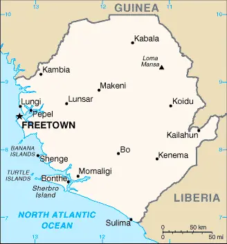
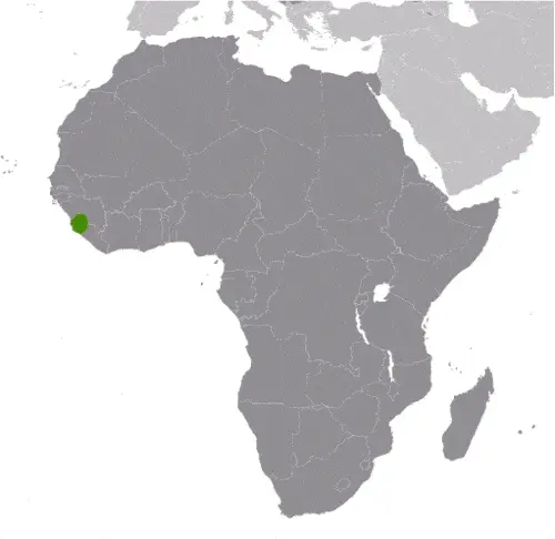
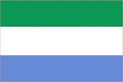
This image shows the draft map of Sierra Leone, Africa. For more details of the map of Sierra Leone, please see this page below. This image shows the location of Sierra Leone, Africa. For more geographical details of Sierra Leone, please see this page below. This image shows the flag of Sierra Leone, Africa. For more details of the flag of Sierra Leone, please see this page below.
Borderline map of Sierra Leone Location map of Sierra Leone Flag of Sierra Leone

Sierra Leone Google map

Google Maps and Detailed Facts of Sierra Leone (SL). This page lets you explore Sierra Leone and its border countries (Country Location: Western Africa, bordering the North Atlantic Ocean, between Guinea and Liberia) through detailed Satellite imagery – fast and easy as never before Google Maps.

Find comprehensive information about this country’s diversity below: Google maps, geography, economy, science, people, culture, environment, government, and history – All in One Wiki page.

There is also a Street View and free Driving Directions at your service. In Africa, your Google Satellite Map Sightseeing in Sierra Leone starts here at Driving Directions and Maps.com.
Read more

Google Maps™ driving directions home » Africa maps

Somalia Google Map

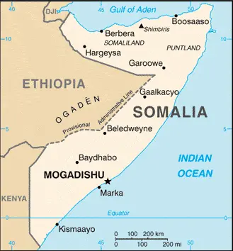
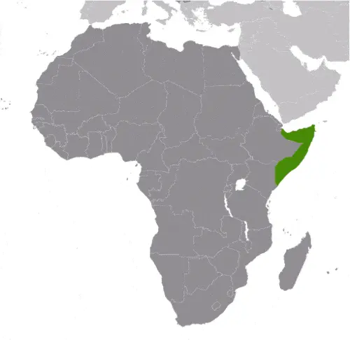
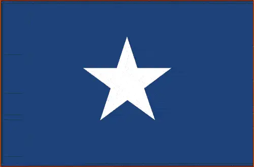
This image shows the draft map of Somalia, Africa. For more details of the map of Somalia, please see this page below. This image shows the location of Somalia, Africa. For more geographical details of Somalia, please see this page below. This image shows the flag of Somalia, Africa. For more details of the flag of Somalia, please see this page below.
Borderline map of Somalia Location map of Somalia Flag of Somalia

Somalia Google map

Google Maps and Detailed Facts of Somalia (SO). This page lets you explore Somalia and its border countries (Country Location: Eastern Africa, bordering the Gulf of Aden and the Indian Ocean, east of Ethiopia) through detailed Satellite imagery – fast and easy as never before Google Maps.

Find comprehensive information about this country’s diversity below: Google maps, geography, economy, science, people, culture, environment, government, and history – All in One Wiki page.

There is also a Street View and free Driving Directions at your service. Your Google Satellite Map Sightseeing in Somalia, in Africa, starts here at Driving Directions and Maps.com.
Read more

Google Maps™ driving directions home » Africa maps

South Africa

Driving Directions South Africa

SOUTH AFRICA is a republic that lies at the southern tip of the African continent. It has a massive coastline to the west on the Atlantic Ocean and the east on the Indian Ocean. Namibia, Botswana, Zimbabwe, Mozambique, and Swaziland lie to the north of the country.

Read more

Google Maps™ driving directions home » Africa maps

South Africa Google Map

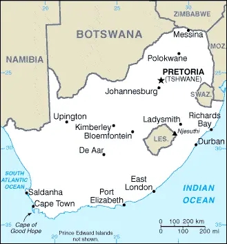
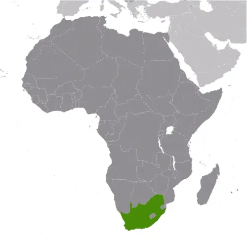
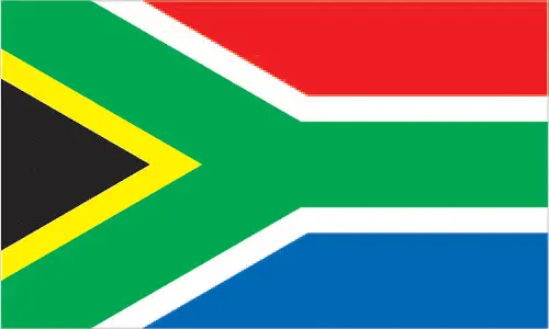
This image shows the draft map of South Africa, Africa. For more details of the map of South Africa, please see this page below. This image shows the location of South Africa, Africa. For more geographical details of South Africa, please see this page below. This image shows the flag of South Africa, Africa. For more details of the flag of South Africa, please see this page below.
Borderline map of South Africa Location map of South Africa Flag of South Africa

South Africa Google map

Google Maps and Detailed Facts of South Africa (ZA). This page lets you explore South Africa and its border countries (Country Location: Southern Africa, at the southern tip of the continent of Africa) through detailed Satellite imagery – fast and easy as never before Google Maps.

Find comprehensive information about this country’s diversity below: Google maps, geography, economy, science, people, culture, environment, government, and history – All in One Wiki page.

There is also a Street View and free Driving Directions at your service. Your Google Satellite Map Sightseeing in South Africa, Africa, starts here at Driving Directions and Maps.com.
Read more

Google Maps™ driving directions home » Africa maps

South Sudan Google Map

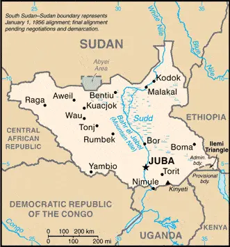
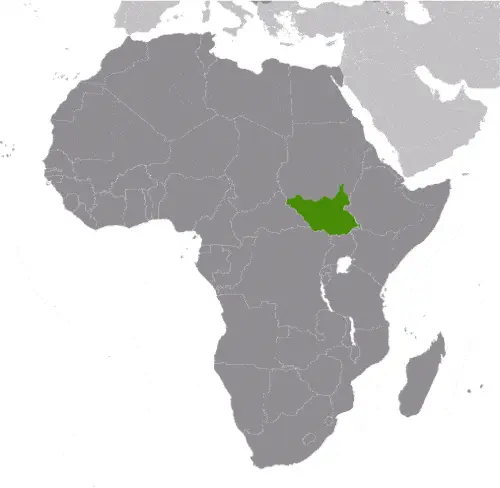
This image shows the draft map of South Sudan, Africa. For more details of the map of South Sudan, please see this page below. This image shows the location of South Sudan, Africa. For more geographical details of South Sudan, please see this page below. This image shows the flag of South Sudan, Africa. For more details of the flag of South Sudan, please see this page below.
Borderline map of South Sudan Location map of South Sudan Flag of South Sudan

South Sudan Google map

Google Maps and Detailed Facts of South Sudan (SS). This page lets you explore South Sudan and its border countries (Country Location: East-Central Africa; south of Sudan, north of Uganda and Kenya, west of Ethiopia) through detailed Satellite imagery – fast and easy as never before Google Maps.

Find comprehensive information about this country’s diversity below: Google maps, geography, economy, science, people, culture, environment, government, and history – All in One Wiki page.

There is also a Street View and free Driving Directions at your service. Your Google Satellite Map Sightseeing in South Sudan, in Africa, starts here at Driving Directions and Maps.com.
Read more